

IKNET performs a full range of geology and land surveying works.
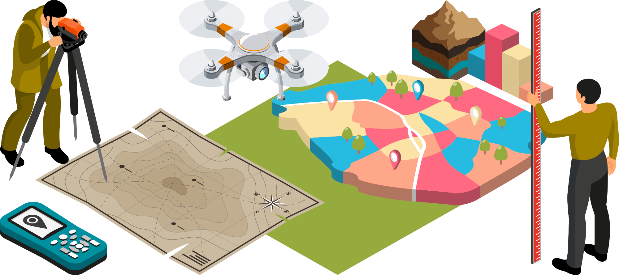 LAND SURVEYING is a set of works to investigate the ground surface and to identify the underground engineering structures. The result is a topographical map of the terrain. Land mapping is carried out using modern ground-based equipment (GNSS RTK receivers and total stations) as well as a drone or quadcopter equipped with a high-resolution camera. The search for underground engineering structures is performed with cable locators. In addition, the location of underground communications is approved by the relevant asset owners (Oblenergo, Oblgaz, Ukrtelecom and others). Geodetic surveying is an integral and high-priority stage of any construction.
Land surveying includes:
- obtaining topographical plans for the design of 0.4 kV - 110 kV transmission lines, electrical transformer substations (at scales 1:2000 and 1:500) and other utility systems;
- land cadastral survey - marking of cadastral boundaries with their cadastral numbers on topo plans;
- сreating an engineering and geodetic basis for determining the spatial position, shape and size of objects;
- excerpts from topographical plans;
- сartography, relief mapping;
- obtaining data on the geometric parameters of objects (including underground) and their changes;
- establishing boundaries of land plots on the ground.
Stages of land surveying works
Preparatory stage. Obtaining the client's terms of reference, collecting and analyzing archive survey materials, reconnaissance survey of the area, preparing the survey program.
Field stage. Installation of ground-level survey networks using above-ground and GPS methods. Topographical surveying of underground and above ground structures, including field work to measure the site.
Lab work. Final processing of field measurement data with evaluation of the accuracy of the obtained results, preparing a report, cartography, excerpt from the topographic and geodetic plan and submitting the report materials to the Client and the state cartographic and geodetic funds. Approval of the communications mapped on the topographic plans with asset owners.
If necessary, the land surveying work may also include an execution survey, which is carried out to identify any deviations from the initial design for projects under construction or already built.
GEOTECHNICAL SURVEYS are a mandatory step in any construction project. The main tasks of geological work are to determine:
- the composition (properties) of soils and their conditions of location for the selection of construction materials;
- the depth of ground freezing;
- the depth and location of groundwater;
- potential flooding of the site;
- places of geological phenomena and processes (rockslides, landslides, karst, seismicity, etc.).
Stages of geotechnical studies
First stage. Site visit, well drilling, soil and water sampling.
Second stage. Laboratory examination of the samples obtained.
Third stage. Processing and summarizing the results from the field and laboratory work, compiling the report and transmitting the results to the Client.
NECESSARY INITIAL DATA:
- Name of object;
- Location of the site (coordinates, cadastral number);
- General description of the object and assignment (technical characteristics of the designed object, stage of design, detail and completeness of the situation, accuracy in determining the spatial position of elements of the situation (scale), etc.);
- Duration of works;
- Contact person.

Topographical land survey (1:2000 and 1:500 scale) with cadastral boundaries, relevant cadastral numbers and approval by the necessary organizations
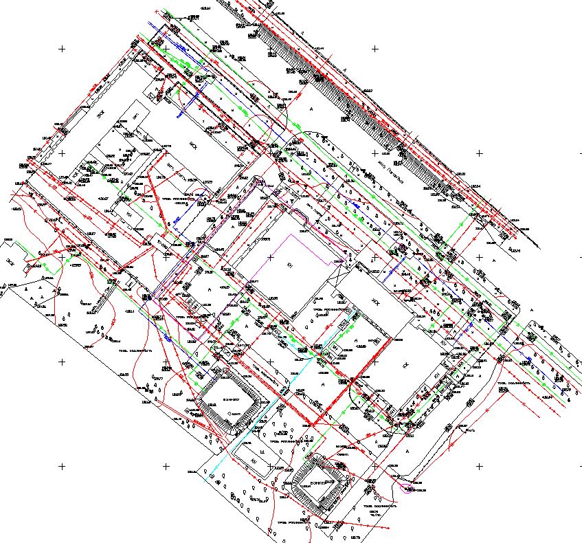
1:500 scale
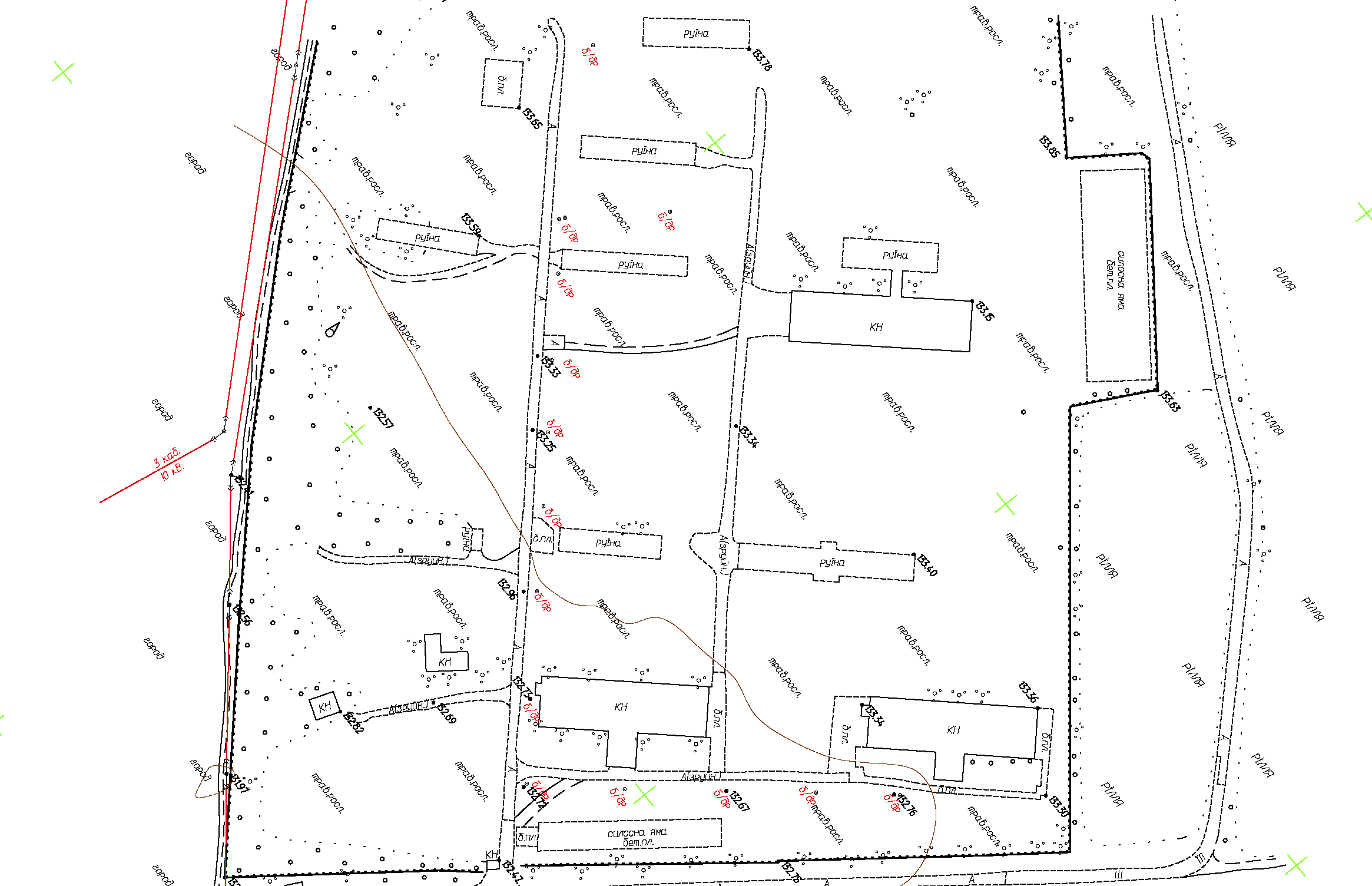
1:2000 scale
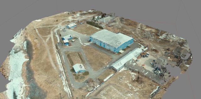
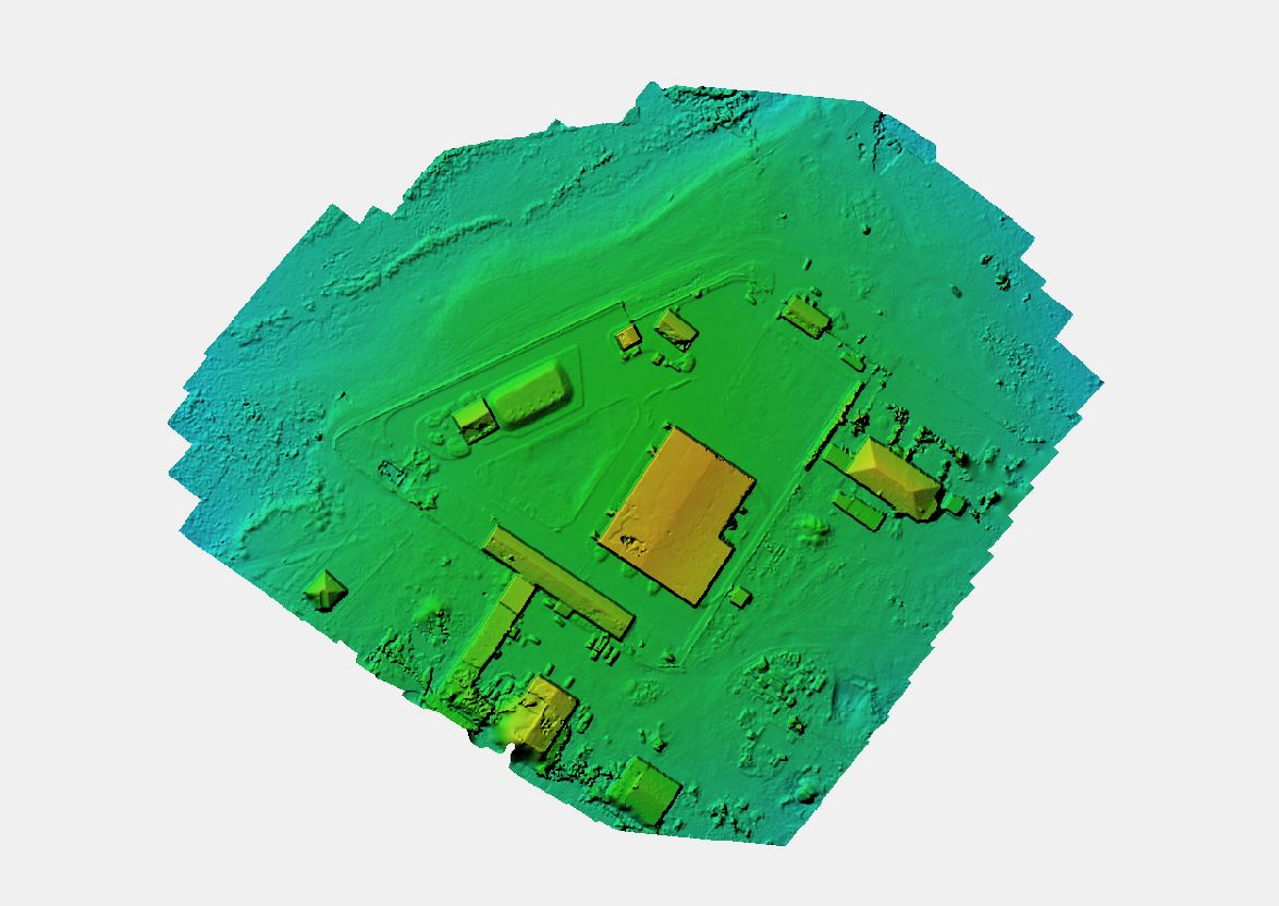
Aerial photography
 |
ORDERING A SITE GEODESY / GEOLOGY. STEPS REQUIRED TO CARRY OUT THE WORK
- Contact us by phone or email;
- Indicate the purpose of developing a topographical survey / geology;
- Get a commercial offer that meets your requirements;
- Sign a contract for geodesy and/or geology services;
- Receive engineering studies performed in a timely manner.
ADDITIONALLY, WE OFFER
Orthophoto mapping

Creating digital and 3D models
Creating digital relief models
The price of site geology and site geodesy is determined individually and depends on the location of the site, the scale of the survey and the area of the site where the measurement work has to be done. The price of site measuring is also calculated individually and depends on the specific characteristics of the site.